


On the ferry from Tokyo to Tokushima, a local woman told me it was a good choice to climb Ishizuchi-san, as it is the guardian angel of her hometown, Saijo in Ehime Prefecture on Shikoku Island. Ishizuchi-san, also known as “stone-hammer,” is favorably located, so typhoons can rarely strike the city–good news to me since bad weather was supposedly on its way.
I had finally arrived at the sacred mountain after two days of traveling, and one day of climbing another hyakumeizan mountain: Tsurugi-san. My new friend Tomoka, whom I met hitchhiking, was also climbing hyakumeizan in the area.
At the trailhead, the weather didn’t look promising, and other hikers descending from the trail warned we should get going before the visibility got worse. Putting on my rainwear, I was bummed to think the long expected views, as far as Kyushu, probably weren’t going to happen.
Toward the trailhead, visibility got worse and warning signs appeared about the use of the climbing chains. Tomoka faded in and out of cloud gusts, and we decided to take the detour route. The trail below was invisible, and I relied on my feet to choose the route as I ascended over smooth, medium-sized boulders.
I made a quick stop at a shrine along the way, praying for safety and better weather and, before I knew it, I had arrived at the summit. A bit disappointed with the views, I finally gave in to the chill and fog and decided a trip to the onsen and famous local udon would be the best way to end the day.
Trail Tips
Although you can take the normal path to the top, the gnarly kusari (chain rope) route is nearly vertical and challenging for even experienced climbers. The three sets of chains measure 33, 65 and 68 meters. Watch your step! You can also reach Tengudake in 15 minutes from this point.
Sometimes this area is off-limits due to landslides, so talk to locals and read the signs posted in the area. Also for those short on time, you can take the ropeway halfway up the mountain, which will save you 450 meters of altitude but costs about ¥1,000 each way.
Mountain Stats
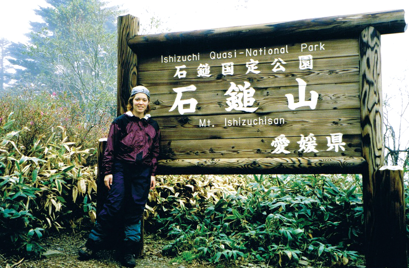
- Mountain: Ishizuchi-san
- Difficulty Level: 2 out of 5
- Location: Ehime Prefecture (Shikoku)
- Peak: 1,982 meters
- Duration: Day hike
- When to go: June – November
- Things to bring: Daypack, raingear, flashlight, map, camera, sunscreen, water, camera, gloves, sunglasses, warm hat, food supplies, sleeping bag.
How to get there: Fly to Matsuyama Airport from Haneda Airport in Tokyo. From the airport, a short bus ride will take you to Matsuyama JR train station. From there take the JR Express to Iyosai-jyo Station where you can take a bus to Ishizuchi-san train head.
Getting There
Haneda Airport Tokyo » Matsuyama Airport » JR Matsuyama Station » Iyosai-jyo » Ishizuchi-san trailhead
(1 hr. 30 mins. ¥11,000) » (15 mins. ¥300) » (58 mins. ¥1,580) » (54 mins. ¥970)
Contact Information
Iyosaijyo Town Hall: (0897) 56-5151
Kintetsu Taxi: (0897) 56-6161
Things Not to Miss
After the hike, stop by the Joju complex, located on the main shrine grounds. It is most notable for the variety of stone hammers they have on display. Gokurakuji Temple is the Mecca of mountain spirituality and a good place to stop before your hike.
And don’t miss the Asahi Beer Community Hall to celebrate with some Genghis Khan buffet and local fare. If you visit the Ishizuchi Tirol Forest, located on the Kamogawa River, you can enjoy beer made from riverbed water and hand-made sausages.
Recommended Hiking Schedule
6 hours
