
“This is going to be a long three days, the tail-end of the South Alps,” I thought to myself, as I checked my bootlaces and then slung on my pack. Including tent, food and water, my pack weighed nearly 17 kgs., and I was miserable from the start. Three long days and 35 kms. to go.

The first seven hours were like sleepwalking in hell-forest. Delirious from an hour’s sleep in the car at the trailhead, I couldn’t tell if I was really moving forward, or if the forest was playing some cruel trick on me as the scenery seemed to change very little.
When I arrived at the junction at 2,400 meters, I collapsed. I was so relieved for the views and blue sky above me, but most especially to put down that miserable pack. What was I thinking? I’m not a pack mule. I just lay there for countless minutes, a cheese sandwich scrunched up in my left hand and the map in the other. Trying to avoid the inevitable, to get up and get going again.
Trail Tips
From Irydo trailhead (880 meters), the first eight-hours will be semi-steep easy terrain hiking in the forest. You’ll ascend a total of 2,200 meters in one day, which is tremendous. When you arrive at the 2,400 meters junction, you’ll be above the tree line, and the flat area is a good place to keep your pack if it is heavy (though do bring water, raingear and any valuables with you; a small detachable bag works well), before you attempt the last three hours up to the summit of Mt. Hijiri.
Remember: slow and steady wins the race. The last 90 minutes before the summit is all steep loose rock, therefore ascending is far easier than descending, as it can be a little tricky to maneuver, especially when you’re exhausted.
Days two and three offer lovely views in all directions and, though there is a lot of uphill and downhill, you’ll be greeted with good views from Kami-kochidake and Chausu-dake. There are long stretches between place markers, so take care to go at your pace and rest along the way. Take note: in the last 100 meters (about 15 minutes) before you reach Tekari-dake, you’ll pass a spring which is well marked. Stop here and refill on water, as there is no available water at the hut.
Day four is the homestretch, and it is worth it to wake up early and wait for the sunrise. Outside of the Tekari hut, the campsite is like a cult clad in mittens and fleece waiting for its golden leader to appear in the early morning hours. When arriving back at Iryodo trailhead, there is no onsen in close proximity, but take advantage of the delicious stream nearby to wash up a bit before heading back to civilization.
Mountain Stats
Location: South Alps (On the border of Shizuoka and Nagano Prefectures)
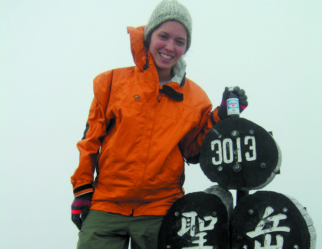
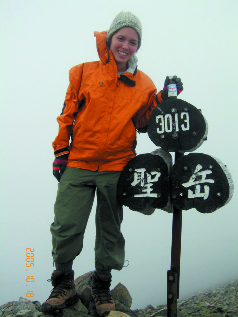
Peak: 3.011m
Things to Bring: Raingear, flashlight, map, camera, sunscreen, water and refillable bottles (you can refill at huts along the way), camera, gloves, sunglasses, warm hat, fleece or warm layer.
When to go: July, August, September, mid-October.
Difficulty Level: Level 4 out of 5. This is not technical at all but is a very long hike. This hike can also be minimized into three days, depending on your physical condition. I recommend parting with the money and staying in huts.
Note: Tekari-dake hut closes operations the second weekend in September but is left open year-round as a safety lodge for hikers.
Things Not to Miss
Fresh drip coffee from the lodge of Tekari-dake while watching the sunrise, 400 (but this is really priceless).
Getting Here
From Tokyo take the Tokaido Shinkansen to Toyohashi, then transfer to the JR Tokyu Express to Hira-oka. From there, an 80-minute taxi ride from Hira-oka to Iryodo trail head. It is recommended to rent a car. The last section of forest road is 80 kilometers long and is very rough, so some taxis may refuse to go out that far.
Tokyo → Toyohashi (transfer here)→ Hiraoka → Iryodo
(2 hrs., 20 mins.) → (1 hr., 45 mins.) (total 11,¥190) → (1 hour, 15 minutes; ¥3,500).
Recommended Hiking Schedule:
Day 1: 7 hours, 30 minutes (stay at Hijiri-daira hut)
Day 2: 10 hours, 15 minutes (stay at Chausu-dake hut)
Day 3: 7 hours, 30 minutes (stay at Tekari-dake hut)
Day 4: 4 hours, 20 minutes (back to Iryodo trail entrance)