


After seven hours of straight hiking, I can see the unmistakable spear-like peak of Yarigatake in sight. “Just a little more,” I think to myself. I take a break in front of Banryu’s cave. He is the Buddhist monk said to be the first to climb Mt. Yari and look deep inside. “Ganbare, you’re almost there,” echoes from the darkness.
When I reach the Yaridake Sanso, the re-furbished mountain hut below the peak, all I want to do is sleep. Clear skies persuade me to keep going as views of the mountain ranges in the distance are breathtaking, and blinding gusts can roll in without a moment’s warning. Half an hour on the top of Yari I spend drinking up the views and wondering what these mountains will look like tomorrow.
Trail Tips
Following the river along the Oku-kamikochi nature path, the trail is relatively flat and easy-going for the first day of the hike. You are literally making your way around the largest peaks and approaching Yarigatake from the southeast along the river. From Yarizawa Lodge on day two, the trail gets gradually steeper for about four hours, and the push to the top is another 30 minutes from Yari-dake Sanso. Some find the ladders to be intimidating, but they are not technical, though concentration is required as the trail is narrow and many others will be on it.
To get to the summit, you must ascend three steep ladders, narrow but sturdy. It’s a good idea to go as light as possible with a windbreaker to avoid getting dragged down by weight and crowds. From the summit of Yarigatake on a clear day, you’re in a sea of mountains as you sit atop the second highest mountain in the North Alps. Don’t miss the sunset from Yarigatake Sanso after dinner and the gnarly gusts that come rolling in as night approaches.
On the next day, the return is about a seven-hour hike, but downhill and super easy-going. Beware during peak season, or on August weekends, this route is often called “Ginza,” as it is notorious for crowds. If you have plenty of experience, stamina and a few extra days, a more challenging route back to Kamikochi is on the Dai-kireto, which can be somewhat technical and exhausting, with steep ladders and small ledges for which to look out—though the views are worth it.
Mountain Stats
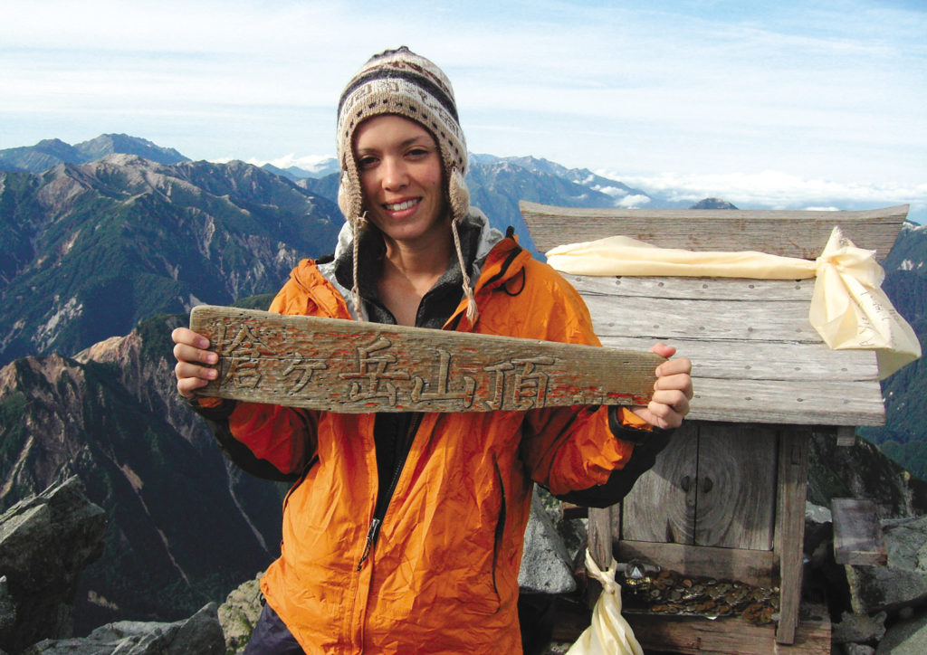
Mountain: Yarigatake
Difficulty Level: 3 out of 5 (some steep ladder climbs) (can we do some little icon thing here)
Location: North Alps (Kita-Alps), Nagano Prefecture
Peak: 3,180 meters (5th tallest mountain in Japan)
Duration: 2 days / 3 nights
When to go: July – September
What to bring: Raingear, flashlight, map, camera, sunscreen, water (you can refill at huts along the way), camera, gloves, sunglasses, warm hat.
Getting Here
From Shinjuku, take the JR Tokyu Express to Matsumoto and transfer to Shin-shimajima by local train where you can catch a bus to Kamikochi.
Shinjuku → Matsumoto → Shin-shimajima → Kamikochi
(2 hours, 37 minutes; ¥6,910) → (31 minutes; ¥680) → (1 hour, 15 minutes; ¥3,500)
Things Not to Miss
Onsen (hot springs) at either Kamikochi Onsen Hotel or Shimizu Onsen Hotel in Kamikochi.
Contact Information
Yarizawa Lodge: (0263) 95-2626 (2 meals / 1 night stay ¥8,500)
Yaridake Sanso: (0263) 35-9707 (2 meals / 1 night stay ¥8,500)
Recommended Hiking Schedule
Day 1: 4 hours, 50 minutes (stay at Yarizawa Lodge)
Day 2: 5 hours, 20 minutes (stay at Yaridake Sanso)
Day 3: 7 hours 20 minutes (back to Kamikochi)
Ginger Vaughn began hiking the hyakumeizan in an effort to get to know Japan outside of Tokyo. She saw the mountains as a chance to experience the countryside and get to know the land and locals intimately. She plans to complete mountain #100 in early November of this year and will be the first foreign woman in Japan to finish the hyakumeizan. Her narrative about her hyakumeizan experience will be out in 2006.
