


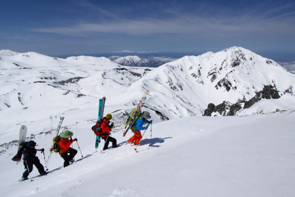
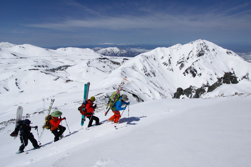
The first place the powder snow season begins each year in Japan is that sacred area called Tateyama. As powder-lovers returned to this pristine area in late autumn, still fresh in everyone’s mind is the major avalanche that occurred last year on Masago-dake, one of the peaks within the Tateyama area, in which seven people were killed.

What can we learn from an accident like this? How can we be sure to do everything possible to stay safe as a new snow season approaches?
The Japan Avalanche Network (JAN) is the partner of the Canadian Avalanche Association (CAA), an organization specialized in avalanches and avalanche safety.
Within Japan, JAN is working to provide a standardized avalanche educational program, as well as providing web-based avalanche and snowpack information through the “Yuki no Keijiban”— Snow Bulletin Board. The contributors to the Keijiban are people active in the snow zone areas—guides, ski patrollers, ice and snow scientists and even regular “weekend warriors” on the hills.
In some areas where there are enough contributors, they combine the avalanche information and release it as a group. In Hakuba from January to March, every morning at 7 a.m., a five-level evaluation of avalanche hazards conducted to North American standards, is released.
Following last year’s accident, JAN has also started this season to provide avalanche information for the Tateyama region as well.
Making Sense of Avalanche Information
Working skillfully with avalanches requires a certain degree of knowledge. In other words, if you don’t really understand the detailed avalanche information being presented, the best course of action is to stay away from any avalanche terrain on any day where the evaluation is for “Considerable” risk or higher.
What often happens is that someone looks only at the five-level evaluation without even scanning the other items and thinks, “What, it’s the same ‘Moderate’ level as yesterday?” and simply hurries out the door.
Thinking about it in terms of weather, lots of people only look to see if there’s a sun or rain mark in the forecast, but a more serious backcountry skier will look at temperature changes and the probability of precipitation and take a good look at the weather map to better understand the total weather picture. It’s the same thing for avalanche information.
Avalanche information includes (1) risk assessment, (2) avalanche potential, (3) overview and (4) advice on what action should be taken.
Possible avalanche information includes what kind of avalanche, in what kind of terrain and what scale of avalanche is likely to occur. The overview provides a general look into the conditions of a snowpack representative of the area.
No. 4 is an item not included in weather reports, but rather advice for that day as to about what a person should be careful, and what actions should be taken. This includes hazards other than avalanches, such as cornices, crevasses/cracks, trees, streams and other factors of the winter mountains. To make good use of avalanche information, keep these four items in mind as you set up your plan for the day.
Previous Avalanche Accidents in Tateyama
This year, JAN made a list of the fatal avalanche accidents that have occurred in the Tateyama mountains during the past 20 years, as well as an outline of the four cases in which JAN performed a site survey after the accidents. Published as a booklet, it was distributed free to the mountain lodges in the Murodo area of Tateyama.
These are not places where avalanches are sure to occur, but many of them are in what is known as Complex terrain—varying terrain that can be hard to predict—and which people should avoid entering any time the avalanche forecast is “Considerable” or higher.
People accessing the backcountry in Tateyama should refer to these materials before taking action.
Participation and Assistance
The avalanche information provided by JAN comes from volunteers, so it must seek a variety of means of support. Details are available at the membership page of the organization’s website.
JAN also receives actual observations of avalanches through Twitter, using the hashtag #nadare2015. When making a tweet, always include a photo, elevation and aspect information. Providing a continuous stream of avalanche eyewitness information and other avalanche information is an invaluable resource, so everyone’s cooperation is very much welcome.
Taking part in these activities will help ensure the safety of the entire backcountry community and make sure you make it home safely to ski or ride another day.