For two weeks I had been in the South Alps, working as hut staff. Preparing pre-sunrise breakfasts and early dinners left little time for hiking. On my last day, I was ecstatic as I packed my bag and headed out, even as rain poured down from above.

I was restless and happy to be wearing out my hiking boots again. Seven hours later brought me to the lodge near Kaikoma-gatake trailhead. I quickly checked into the lodge, threw down my heavy pack, grabbed a small bag and bolted out the door. I decided I could make it to the peak and back just before dark.
Apparently I was not quick enough. I could hear shouting behind me and, sure enough, a young guy working at the lodge came after me saying the weather was too bad to hike. The owner herself, a strict looking obasan, presented herself shaking her head with an unmistakable “No.”
I wasn’t in the mood for anyone’s attitude as I had enough of my own, but after half an hour of bickering, the rain got worse and it was too late to continue. The obasan gave me a sympathetic look as I angrily gave up. I stepped outside to calm down, feeling the gaze of everyone’s eyes on me. We had caused a scene, and people were smiling, some nodding their heads as I walked by.
In the morning the weather proved no better. Rain was my constant companion. “Ame Onna” (rain woman) was my nickname for the rest of the hike as pockets of sunshine never lasted more than a few minutes. Other than one hiker covered head-to-toe with wet Gore-tex, I was the only hiker on the trail.
As we passed, I told him I was sorry I was an ame onna. He just laughed saying he was a “hare otoko” (sunny weather man), so it must be me. When I got back to the lodge, the obasan from the previous evening was sitting in a chair smiling at me.
“How was it?” she inquired. I smiled back and told her I had a fine time hiking in the rain.
“So it seems,” she replied.
Trail Tips
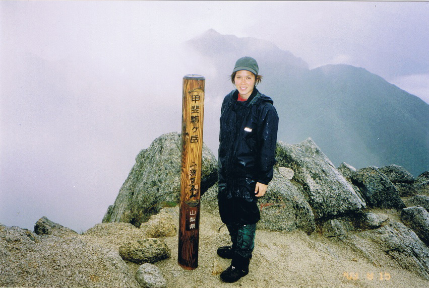
At Suisen-toge (pass) the trail is lined with rhododendrons and pines. From here, as you ascend toward the peak, it is a pretty tough ascend for the next 500 meters. If you take the longer route to the summit, make sure you keep an eye out for signs as a few trails merge at the peak. On the descent from Kaikoma-gatake (2,967), beware of loose rock and falling rock if you take the direct route.
MOUNTAIN STATS
Mountain: Kaikoma-gatake
Difficulty Level: 2 out of 5
Location: On the border of Yamanashi and Nagano Prefectures.
Peak: 2,967 meters
Duration: Day-hike
When to go: July-October
Things to Bring: Raingear, flashlight, map, camera, sunscreen, water, camera, gloves, sunglasses, warm hat, food supplies, sleeping bag.
Getting There
Take JR to Kofu and transfer to Hirokawara Station (広河原). From there, take the local bus to Kitazawa-toge (北沢峠), which will bring you to Kaikoma-gatake trailhead.
Shinjuku Station ⇒ Kofu ⇒ Hirokawara ⇒ Kitazawa-toge
(2 hrs. 22 mins. ¥2,210) ⇒ (2 hrs. ¥1,950) ⇒ (25 mins. ¥550)
Contact Information
Kita Alps Onsen Lodge: (0552) 88-2321)
Yamanashi Transportation Office: (0552) 23-0821
Kofu Station Taxi Service: (0552) 22-5151
Sensui Lodge: (0552) 76-6293
Choei Lodge: (0265) 98-3130
Things Not to Miss
Don’t miss hot springs on the way back as you pass Chofu City.
South Alps Onsen Lodge (0552) 88-2010 and Togen-tensho Onsen (0552) 85-5001 will definitely be paradise on earth for your tired muscles.
Recommended Hiking Schedule
6 hrs. 50 mins.